Cougar Dome Services
Prospect generation/screening
Generating drillable oil and gas prospects based on subsurface maps created from available well, seismic, and surface data. Prospect screening involves analyzing prospects submitted by a client. Prospects will be generated and screened as if Cougar Dome, LLC was spending its own money to drill the prospect with the goal of finding hydrocarbons in paying quantities.
Acreage evaluation
Evaluating a client's acreage, or acreage in which a client is considering investing, for oil and gas potential. All acreage will be evaluated with the purpose of guiding clients to acreage with the largest potential for locating hydrocarbons.
Regional studies
Evaluating large areas for their oil and gas potential. Regional studies are not necessarily prospect specific, but are used to guide large scale leasing programs. Cougar Dome’s intent is to help its clients determine the best areas in which to invest their capital.
Basin-wide studies
Generating lease/play maps and/or regional maps over basin-wide areas. These maps address broader trends than a regional study with the objective of assisting clients in acquiring large tracts of high potential acreage ahead of the competition.
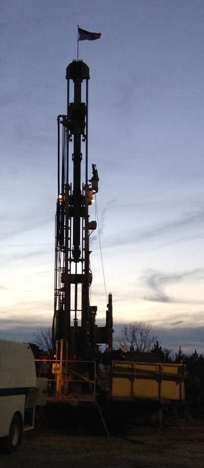
Sample descriptions
Describing drill cuttings under a binocular microscope and preparing a Log Plot of the descriptions. Such descriptions assist in making recommendations on casing programs and completions in order to produce more hydrocarbons from a specific well.
Geological hazards mapping
Mapping the potential for landslides, floods, avalanches, etc. along a pipeline right of way. Identification of geological hazards before permitting can result in significant cost savings in route planning.
Mapping
GIS-generated base, topographic, and land use maps provide information to a variety of users, such as utilities for managing pipe networks, forestry for managing resources, emergency services for route mapping, governments for funding support, and nonprofits for service mapping.